The Wrack
The Wrack is the Wells Reserve blog, our collective logbook on the web.
The Wrack is the Wells Reserve blog, our collective logbook on the web.
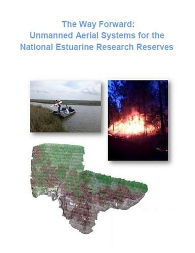 The Wells Reserve has released a resource document for using Unmanned Aerial System technology (commonly known as drones) within the National Estuarine Research Reserve System. This roadmap helps Reserves across the country navigate the complex issues surrounding civilian UAS technology and helps them determine how this technology can help achieve the system's vision of healthy coastal ecosystems and thriving coastal communities.
The document contains resources such as the latest Federal Aviation Administration (FAA) rules about flying UAS in the National Airspace System, the requirements for remote control pilots to get certified, privacy issues, and much more.
Download "The Way Forward: Unmanned Aerial Systems for the National Estuarine Research Reserves"
This document was a joint project involving staff from the Wells and Grand Bay reserves, the NOAA Unmanned Aircraft System Program, the Office for Coastal Management, and the Northern Gulf Institute (a NOAA cooperative institute).
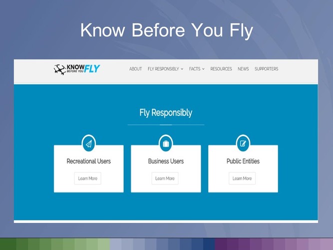
As a start, the roadmap suggests that people interested in flying these remotely piloted aircraft ensure that they fly safely, responsibly and respectfully by check out the website: KnowBeforeYouFly.org