The Wrack
The Wrack is the Wells Reserve blog, our collective logbook on the web.
The Wrack is the Wells Reserve blog, our collective logbook on the web.
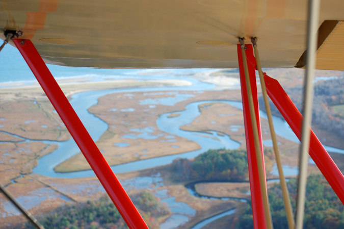
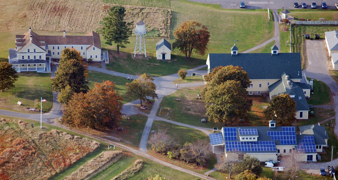
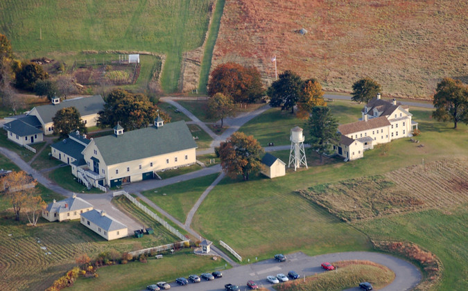
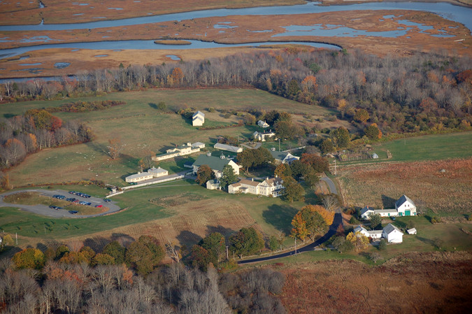
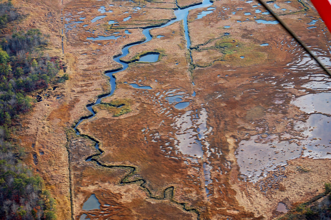
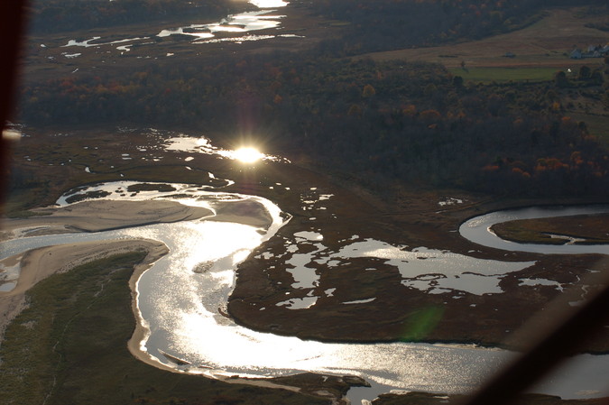
 Last week I had the chance to rise 750 feet above the Wells Reserve at Laudholm in a 1933-vintage open-cockpit bi-plane piloted by Dave Trucksess of Seacoast Biplane Tours. Less than 5 minutes after our take-off from Sanford Airport, we were over the Webhannet River estuary and for the next 20 minutes I got an eyeful of glistening salt marsh, just-past-peak mixed-forest foliage, and Laudholm's many yellow farm buildings.
Ensconced in the front seat, windproof vest zipped up, aviator hat pulled down, a headset muffling the engine noise and carrying light commentary from my pilot, I gripped tight the camera and started to shoot.