The Wrack
The Wrack is the Wells Reserve blog, our collective logbook on the web.
The Wrack is the Wells Reserve blog, our collective logbook on the web.
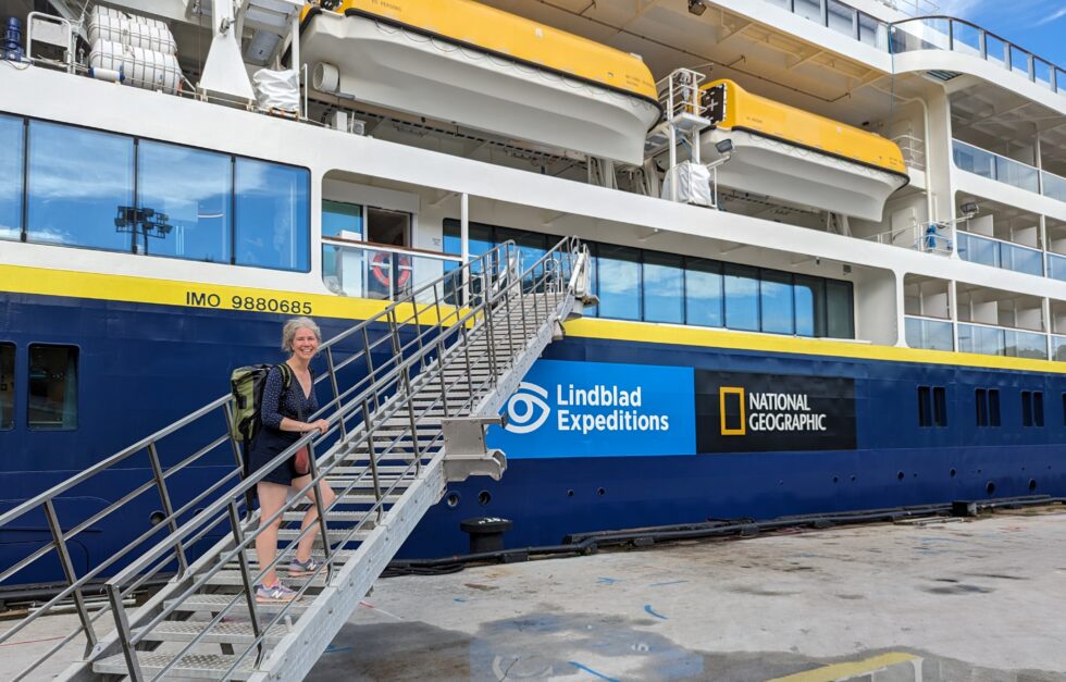
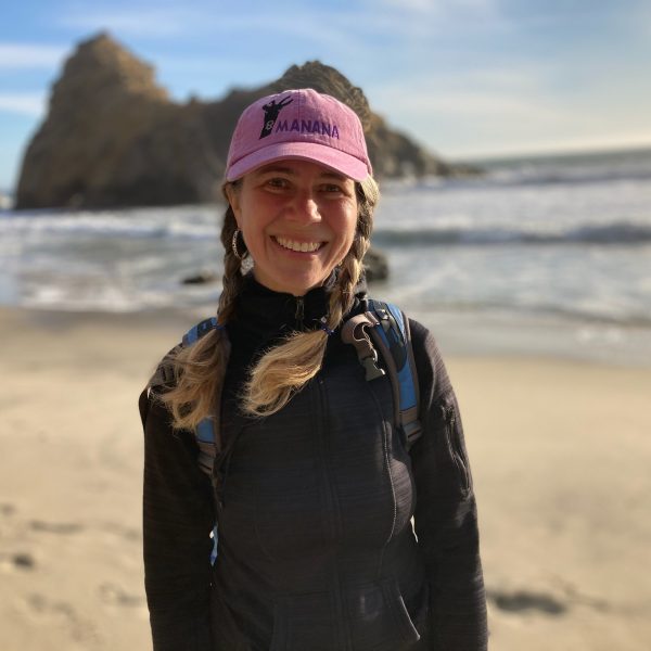
Education Director Suzanne Kahn reflects on her Linblad Expeditions-National Geographic Society expedition experience in the Western Pacific as a Grosvenor Teacher Fellowship Alumna.
As summer ends, a friend's question leads to a Cl-ear answer
We are putting teachers on the estuary again this summer by offering a free workshop that will give educators data-driven climate change activities to bring back to their classes. The workshop will train up to ten educators in reserve-style environmental monitoring, "coastal blue carbon" concepts, and ways to understand and address climate change.
The Piscataqua Region Estuaries Partnership convened the Salmon Falls Watershed Collaborative to improve watershed planning and management — and to protect water supply sources — in the Salmon Falls River watershed.
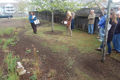
On October 5th the Coastal Training Program partnered with Protect Kittery Waters, Spruce Creek Association, FB Environmental, Robert's Maine Grill, and the Great Works Regional Land Trust to host a day-long field trip showcasing watershed restoration efforts on Spruce Creek and Shorey's Brook. The day began at Kittery Town Hall where Mary Ann Conroy (Public Works, Kittery) and William Straub (CMA Engineers) spoke about the tree box filter and raingarden they installed with Maine DEP 319 funding.
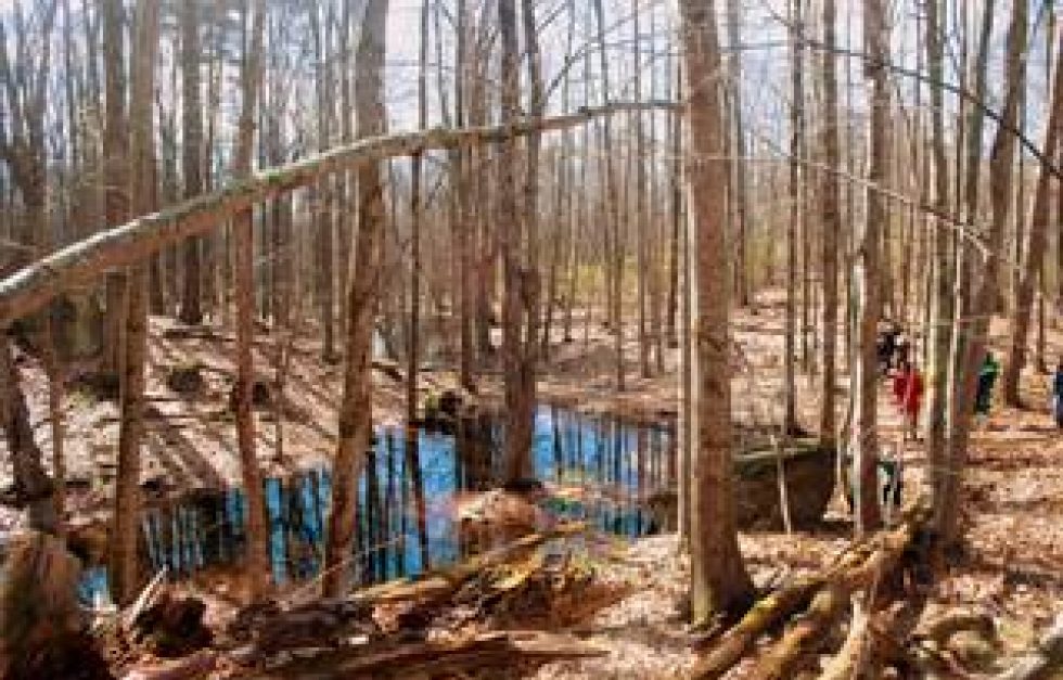
I participated in a watershed hike this past Tuesday in the York and Kittery Water Districts. Not only did we see the beauty of the trails around Mount Agamenticus, but concepts about the larger context of the watersheds were discussed. Water district staff and operators attended along with watershed groups, land trusts, and other municipal staff involved with source water protection. After a quick introduciton and history talk on top of Mt. Agamenticus, the group embarked on a 1.5 mile hike through the York and Kittery Watersheds.
The Land Conservation Plan for Maine’s Piscataqua Region Watersheds aims to identify and describe areas that represent the best opportunities to conserve the critical ecological, biological, and water resources of southern Maine's coastal watersheds. These Conservation Focus Areas (CFA) are presented in the plan as a series of double-sided pages that include a map of each specific area plus detailed information about its significant resources. Each CFA fact sheet is available individually here:
The Piscataqua Region Estuaries Partnership has released its Land Conservation Plan for Maine's Piscataqua Region Watersheds (14MB PDF).
The plan provides a scientific and experienced-based guide for the protection of natural resources vital to thriving communities. It is designed to assist citizens who are involved in sustaining and improving their communities by serving on select boards, planning boards, conservation commissions, economic development boards, schools, or non-profit community organizations such as land trusts, watershed coalitions, conservation groups, and recreation clubs.
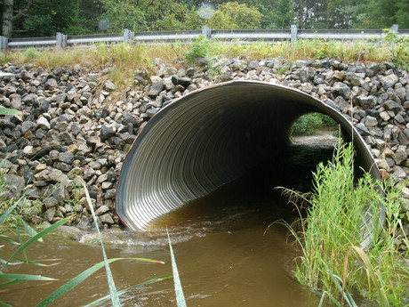 This summer, the Wells Reserve is an active participant in the Maine Road-Stream Crossing Survey: a joint project of the Maine Forest Service and U.S. Fish and Wildlife Service Gulf of Maine Coastal Program. Four teams comprising of summer interns and Reserve employees are surveying the culverts of the Kennebunk River Watershed to see if they pose barriers to fish and wildlife passage.
The Wells Reserve has produced or assisted with every key conservation planning document prepared for southern Maine watersheds over the past decade. The most recent issue of the Watermark newsletter includes a chart to show which plans cover each town and watershed. You can download the watershed conservation chart below (it's a small PDF).