Webhannet Marsh Trail

Goal
Establish an accessible trail providing views of the salt marsh as part of the town's long-term Harbor Road Trail project, with signage describing the history of the landscape and the importance of the estuary.
Project Period
2018
Activities
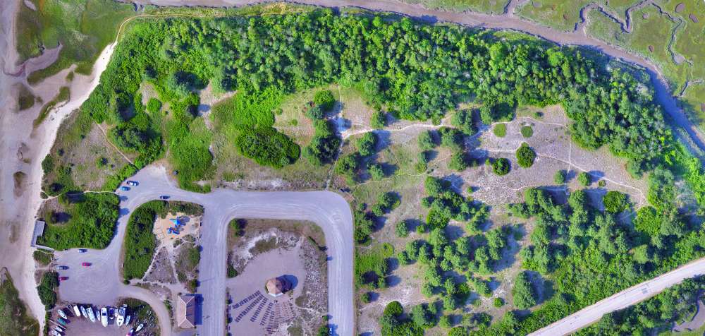
The Webhannet Marsh Trail consists of two paths and one overlook to the estuary. The nearly quarter-mile trail system crosses a 25-acre parcel owned by the town and incorporated into the Wells Reserve through a conservation easement. The landscape includes grass, shrub, and wooded areas along the edge of the Webhannet River salt marsh.
Interpretive signs along the trail explain salt marsh ecology and historical changes at the site.

The trail was designed by Wright-Pierce Engineering of Portland, Maine, and constructed by Green Shadow Landscaping of Rollinsford, New Hampshire.
The trail is adjacent to Wells Harbor, where the reserve maintains weather and water monitoring stations. An additional interpretive sign describing the equipment is situated there.
Funding
- National Oceanic and Atmospheric Administration
- Town of Wells
Partners
- Wells Reserve
- Town of Wells
- National Oceanic and Atmospheric Administration