The Wrack
The Wrack is the Wells Reserve blog, our collective logbook on the web.
The Wrack is the Wells Reserve blog, our collective logbook on the web.
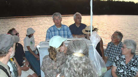
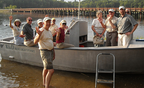
 29 people representing 13 towns and organization participated in three boat trips on the Salmon Falls and Piscataqua Rivers in July and August. The trips coincided with the release of the new Land Conservation Plan for Maine's Piscataqua Region Watersheds that covers 18 communities in southern Maine. The narrated tours brought together key municipal officials and conservation leaders to learn about the plan, its goals, and the river's status and history.
Land use changes, particularly the loss of vegetation along the water edges (associated with residential development), are having a significant impact on water quality. The Land Conservation Plan outlines actions that towns and citizens can take to maintain the natural, recreational, and economic resources that this watershed, draining 1058 square miles, provides.

Ready for launch on a pleasant July evening.

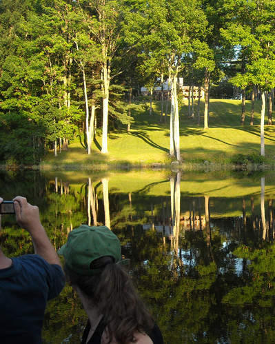
Participants viewed a range of shoreland buffer types and discussed how various approaches have different implications for water quality in the river and downstream.
Photos by Lamarr Clannon from Maine NEMO.