The Wrack
The Wrack is the Wells Reserve blog, our collective logbook on the web.
The Wrack is the Wells Reserve blog, our collective logbook on the web.
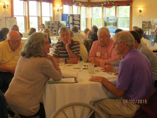
Last week the Salmon Falls Watershed Collaborative hosted 65 attendees at its 5 year anniversary workshop Protecting the Source at Springhill. The collaborative, facilitated by our Coastal Training Program, coordinates long-term source water protection efforts among planning commissions, land trusts, watershed associations, water systems, and town, state, and federal agencies in New Hampshire and Maine.The collaborative’s goal is to protect and sustain high quality drinking water in the Salmon Falls River watershed.The workshop was designed to highlight achievements made in the past five years for protecting water quality in the watershed and to generate and prioritize ideas for future work by the Collaborative. Pictures and workshop materials below, read about the workshop on Fosters.com.
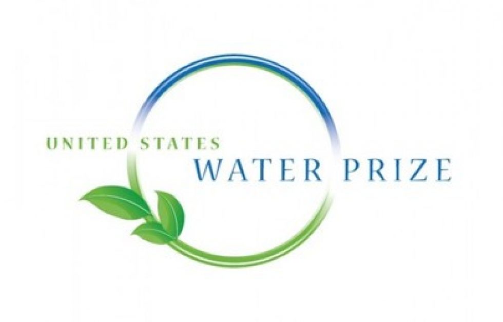
The Salmon Falls Watershed Collaborative, an ambitious interstate effort to protect drinking water supplies for more than 47,000 residents in Maine and New Hampshire, has been awarded the 2012 U.S. Water Prize by the Clean Water America Alliance.
The Piscataqua Region Estuaries Partnership convened the Salmon Falls Watershed Collaborative to improve watershed planning and management — and to protect water supply sources — in the Salmon Falls River watershed.
I participated in a watershed hike this past Tuesday in the York and Kittery Water Districts. Not only did we see the beauty of the trails around Mount Agamenticus, but concepts about the larger context of the watersheds were discussed. Water district staff and operators attended along with watershed groups, land trusts, and other municipal staff involved with source water protection. After a quick introduciton and history talk on top of Mt. Agamenticus, the group embarked on a 1.5 mile hike through the York and Kittery Watersheds.
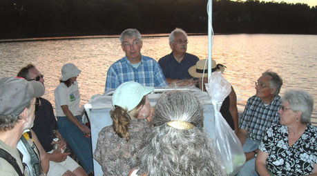 29 people representing 13 towns and organization participated in three boat trips on the Salmon Falls and Piscataqua Rivers in July and August. The trips coincided with the release of the new Land Conservation Plan for Maine's Piscataqua Region Watersheds that covers 18 communities in southern Maine. The narrated tours brought together key municipal officials and conservation leaders to learn about the plan, its goals, and the river's status and history.
Land use changes, particularly the loss of vegetation along the water edges (associated with residential development), are having a significant impact on water quality. The Land Conservation Plan outlines actions that towns and citizens can take to maintain the natural, recreational, and economic resources that this watershed, draining 1058 square miles, provides.