The Wrack
The Wrack is the Wells Reserve blog, our collective logbook on the web.
The Wrack is the Wells Reserve blog, our collective logbook on the web.
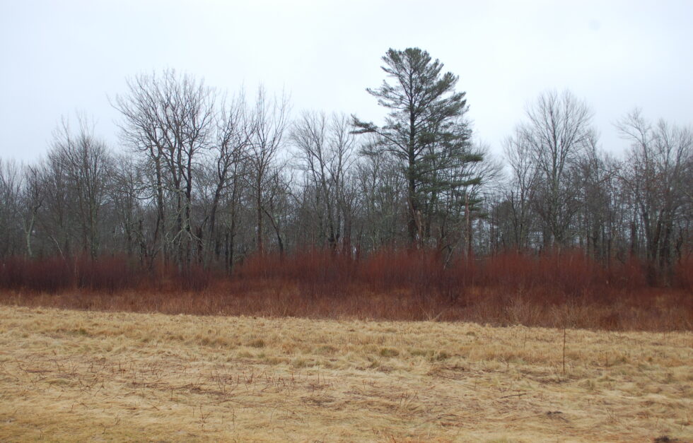
On a classic October morning, a research team heads to the Eliot–South Berwick line, where a private landowner has opened his property for a Wells Reserve study of fish and fish habitat. Parking the pickup at the end of a long hayfield, the five gather up gear and step into a middle-aged pine-oak forest, then head downslope past ferns and toppled trees till the trail goes wet underfoot, the canopy breaks, and they stand at the edge of Shoreys Brook. This is headquarters for the next few hours. It is one of eight sites along the brook’s 4.3 miles being surveyed for resident and migratory fish, and their habitat, in advance of a planned dam removal downstream.
The new issue of Watermark is in the mail to Laudholm Trust members and it's now available online, too. This issue contains information and images about…
 The fall 2010 issue of our Watermark newsletter is now available as a PDF. You can download it here (3.5 MB).
With a camera and a computer you have everything you need to monitor habitat change over time at the Wells Reserve.
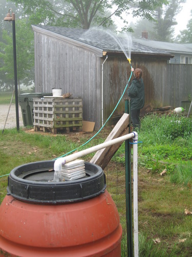 Rainwater harvesting can reduce flooding and erosion issues, as well as surface-water contamination, by slowing down and decreasing the volume of stormwater runoff. One way to harvest rainwater is by using a catchment technique such as rain barrels.
Flooding in York County — is it becoming more common? Roads impassable, bridges washed out, basements full... the stories have become all too familiar in recent years.
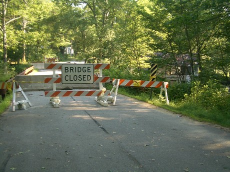 The Mother's Day storm in May 2006 seemed an anomaly till the Patriots' Day storm hit in 2007. This March, the Wells Reserve measured 16 inches of rainfall, 5 inches more than Portland's record-setting 11. The roads closed and the sump pumps hummed again.
The Wells Reserve has produced or assisted with every key conservation planning document prepared for southern Maine watersheds over the past decade. The most recent issue of the Watermark newsletter includes a chart to show which plans cover each town and watershed. You can download the watershed conservation chart below (it's a small PDF).
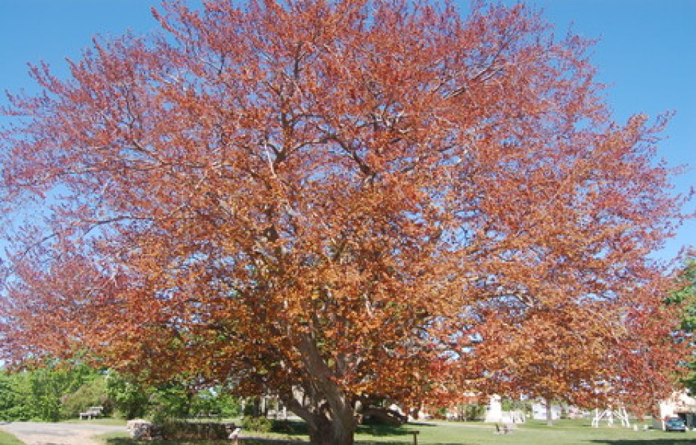
Some say it's a copper beech, but the family that planted it and watched it grow for decades called it a purple beech. Who's right?
It is probably a rare coastal beachfront property owner who is not aware that beaches are dynamic systems that erode and accrete in response to storms, sediment supply, rising sea level, and the proximity of sea walls, jetties, and other forms of coastal "armor." Many beachfront owners are also aware that "natural" barrier beaches and their dune systems are able to persist in the face of sea level rise by transgressing, or migrating shoreward.
Appearing as wide as it is tall, the Wells Reserve's copper beech tree is a dominant presence. As befits a tree with such stature, the Reserve's beech has an interesting cultural and natural history.