The Wrack
The Wrack is the Wells Reserve blog, our collective logbook on the web.
The Wrack is the Wells Reserve blog, our collective logbook on the web.
If you're an avid nature observer, why not share your reserve visits with science? You can add key knowledge to collective efforts that measure nature in myriad ways.
Here are half a dozen projects to check out at the reserve, though none of them limit their scope to our formal boundaries. While some call for special training and particular procedures, others are practically "drop in" opportunities. Take your pick!
March 28, 2024: It's hard to keep projects going and this list was first posted 5 years ago. This post has been updated to indicate what opportunities have faded away.
Signs of the Seasons trains volunteers to observe and record seasonal changes in the lives of plants and animals, a field of study called phenology. The SOS team has done a couple of trainings at the reserve in recent years and our education program has been inspired to adopt the program's protocols. An enthusiastic group is launching Signs of the Seasons this spring, but new observers can get started any time. This project keeps data in Nature's Notebook — the app's worth a look. FMI: Caryn Beiter
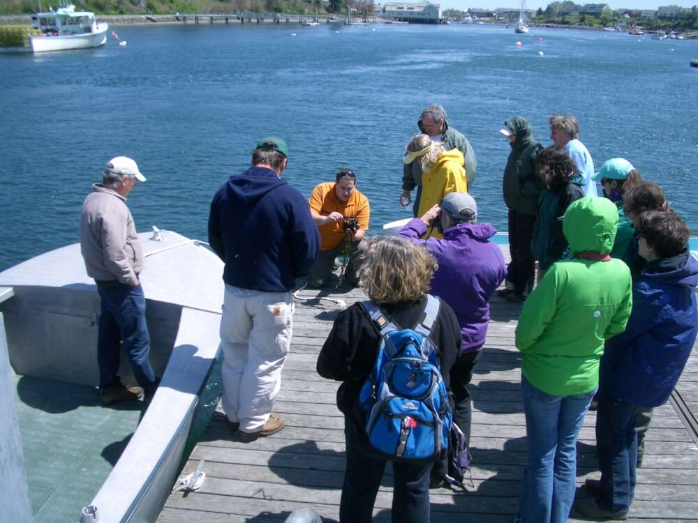
Reaching under docks and into tidepools in the summertime reveals a host of fascinating life forms. The curious naturalists who volunteer for this duty get to expand their vocabulary into tunicates, hydroids, gastropods, and bryozoans. Both native and non-native species get attention in the Marine Invasive Monitoring and Information Collaborative (MIMIC), but the real focus is on detecting invasive species quickly. The reserve manages a number of sites on the southwest coast and offers an annual training for new and returning participants. FMI: Jeremy Miller
Change is constant along the shore; the ocean never stops reshaping beaches, moving sand and stones wherever currents proscribe. By tracking the movement of sand every month, and comparing results year after year, beach profiling helps local communities and state geologists know what's happening along the ever-changing coast. With the uncertainties of sea level rise and annual storm surges, the steady hands of beach profilers create an important baseline. FMI: Program Coordinator
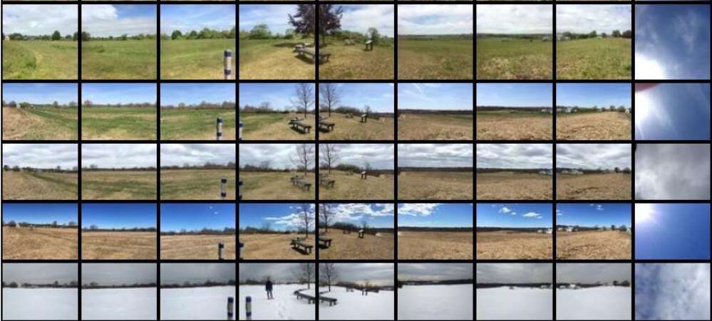
It's just 9 snaps (or taps) from a simple stand. Find a Picture Post (the one along the Knight Trail is easy to access), shoot 8 directions plus up, and upload your photos. They'll join hundreds of shots taken since 2010 that are documenting landscape change over time. The app is only available for iOS devices right now, but anyone can post through the Picture Post website. This project is currently offline. FMI: Suzanne Kahn
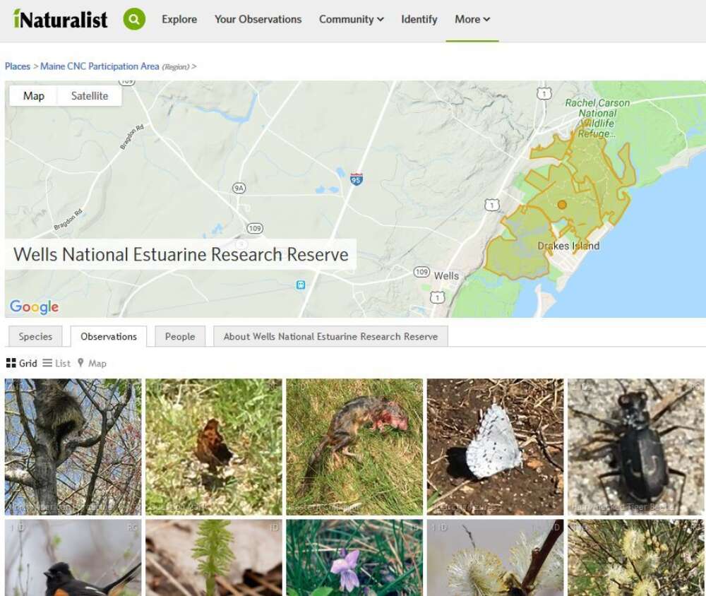
iNaturalist lets you catalog your sightings and helps you identify things you don't recognize. Take a photo of an organism, post it to iNaturalist, and other naturalists will confirm your ID or point you in the right direction. If you're good at recognizing certain species, you can return the favor. This app inspires collaborative "bioblitzes," too, like the recent City Nature Challenge: Maine. If you post while at the reserve, your contributions help to build a sort of "field guide to the Wells National Estuarine Research Reserve." FMI: Caryn Beiter
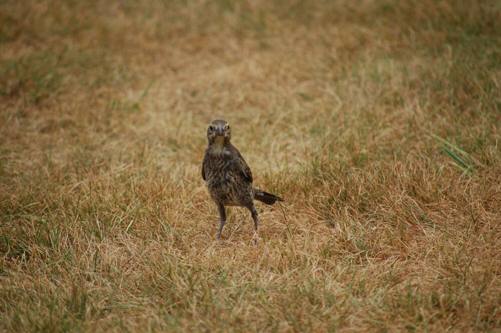
eBird, a hugely successful community-sourced science project, has revolutionized avian record-keeping. Team eBird has developed a slick app, stunning web tools and visualizations, and a cadre of ornithologists and technologists who draw meaning from an enormous and fast-growing database. If you want to know what birds are at the reserve, a top Maine hotspot, eBird has the goods. FMI: eBird Help
York County Audubon does did a quarterly bird census on three walking routes and one driving route that have documented the reserve's avian life pretty well for three decades. Another bird-centric effort is the Maine Bird Atlas, a 5-year plan (now complete) to define bird distribution, abundance, and breeding status throughout the state that welcomes contributions from anyone.
If you're ready to take your citizen science efforts to another level, the reserve's research program might invite you into an ongoing project. Training and time commitment may be intense, but the rewards can be great.
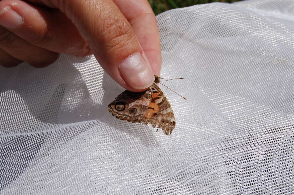
Periodically, the reserve takes a prominent role in citizen science efforts like the Maine Dragonfly and Damselfly Survey and the Maine Butterfly Survey. Stay in touch through our print and electronic newsletters to receive calls for volunteers when these opportunities crop up.