The Wrack
The Wrack is the Wells Reserve blog, our collective logbook on the web.
The Wrack is the Wells Reserve blog, our collective logbook on the web.
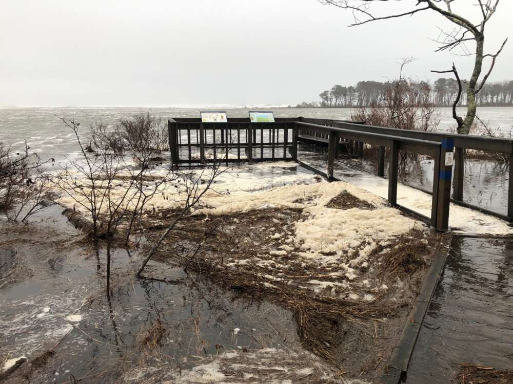
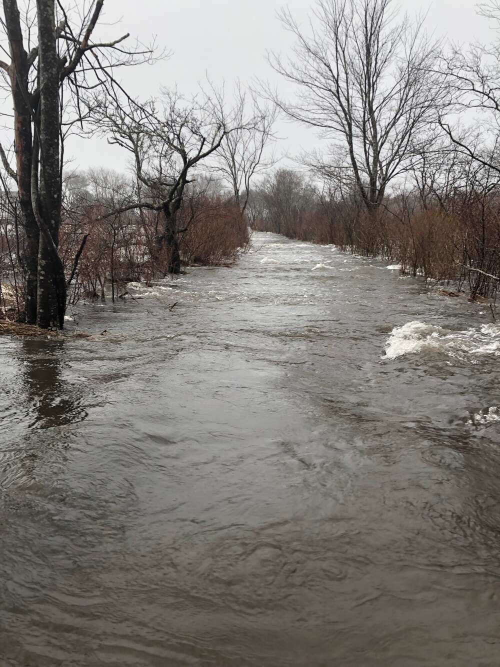
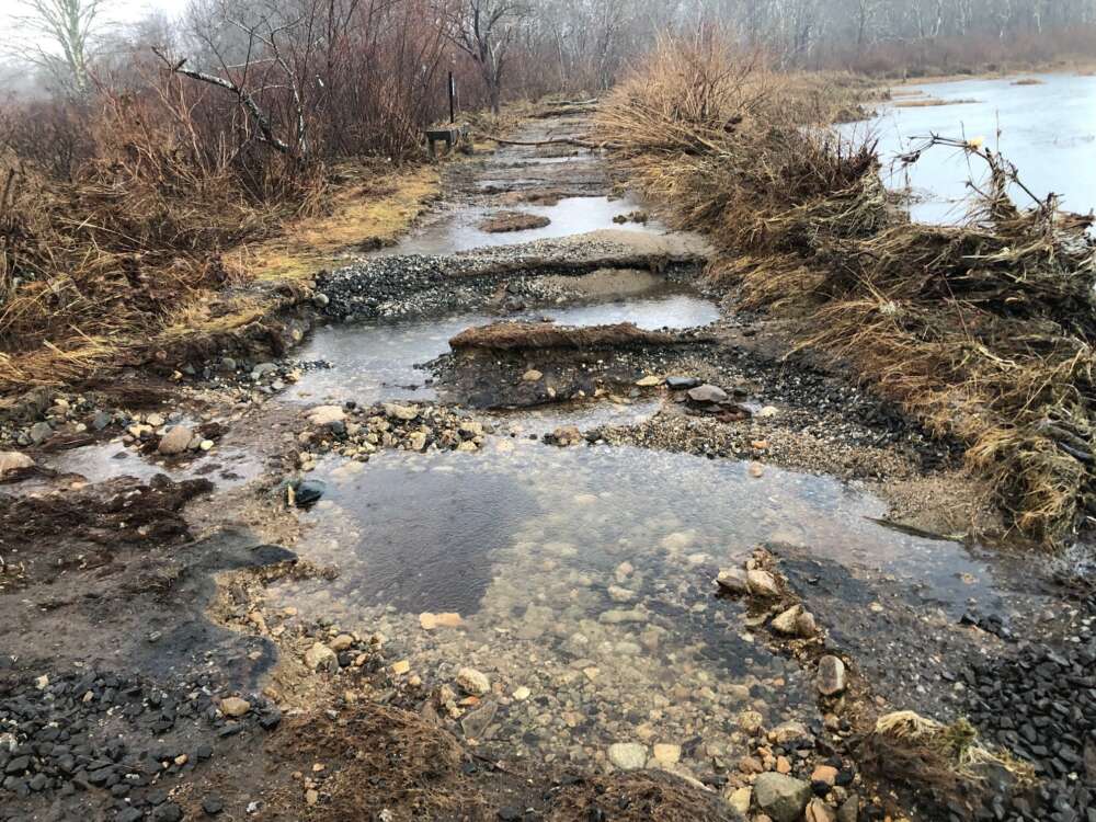
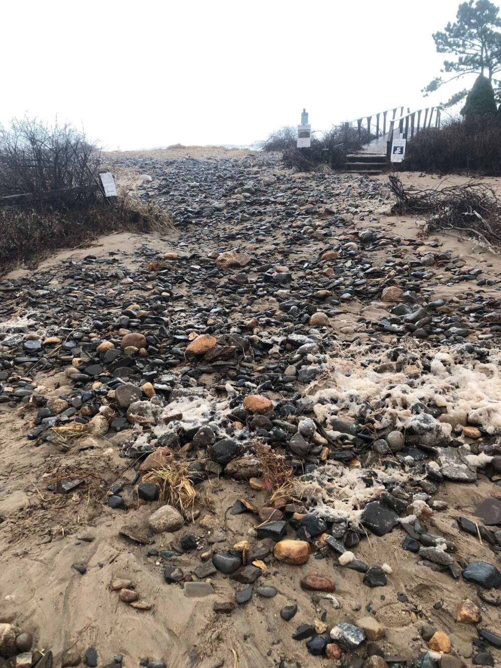
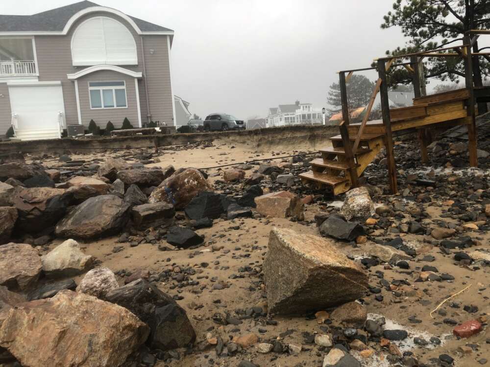
Record-setting water levels have done a lot of damage along the southwest coast of Maine. Flooding has hit homes, businesses, roads, and everything else within the Gulf of Maine's growing reach. Ready or not, here it comes.
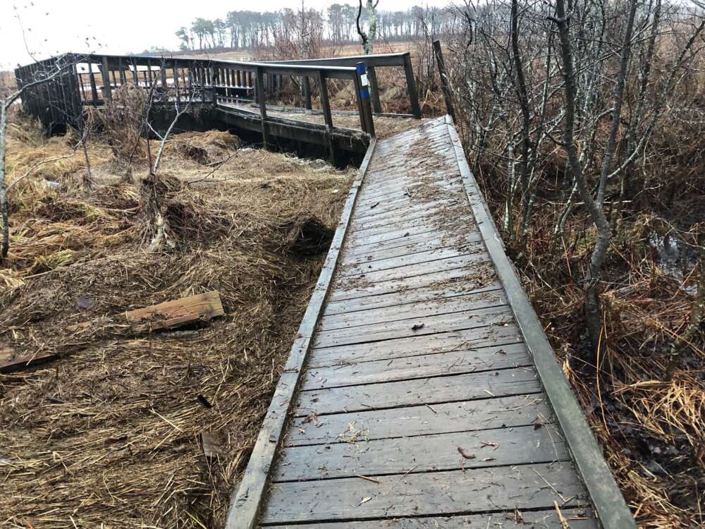
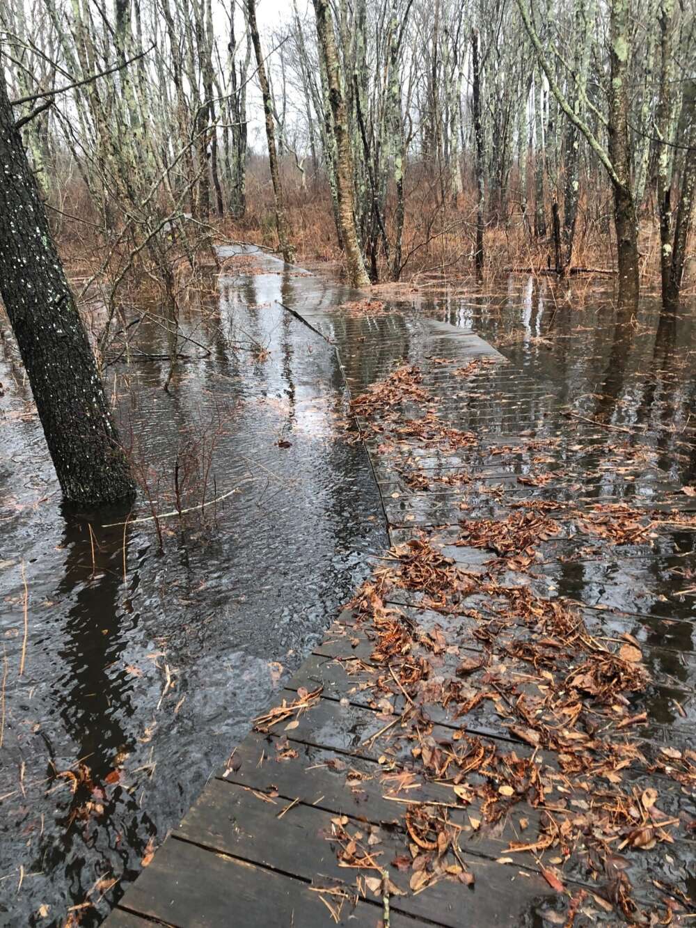
The Wells Reserve's critical infrastructure stands well above its sea-level low points, but some of its most popular spots were within grasp of the ocean's churn last Saturday. Some boardwalks and overlooks are closed. Some accessways are risky to maneuver.
As we assess, recover, and repair, we beg patience and common sense. For an idea of what's ahead, both in the coming weeks, and perhaps the coming decades, here are some views from a day afield.
We will update the Helpful Info and Trails pages with current conditions and cautions.
Our science team is looking into its environmental monitoring data for historical context and assessing effects on marsh-deployed equipment.
Our coastal training team continues to collaborate with coastal communities to encourage resilience planning.
Our stewardship team is actively involved with its partners on CoastWise Approach recommendations for coastal planners.